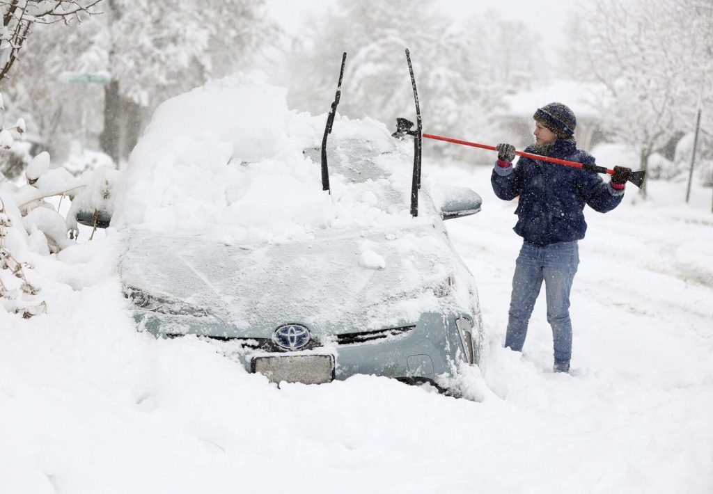
If you thought winter was winding down, think again. A powerful polar vortex is plunging Utah into dangerously cold temperatures while dumping heavy snow across the state. The worst of it will hit in the coming days, bringing travel nightmares, power outage risks, and deadly avalanche conditions.
Arctic Mass Coming Towards Utah
According to meteorologists, an arctic air mass moving south will send temperatures plummeting to near-record lows. In some areas, overnight lows will dip well below zero degrees Fahrenheit, with wind chills making it feel even colder. For comparison, parts of Montana are expecting wind chills as low as -60°F, and while Utah won’t be that extreme, conditions will still be brutal. At the same time, a series of snowstorms will blanket the state with significant accumulation. Between Monday and Thursday, some areas could see over a foot of snow, making roads slick and dangerous. The National Weather Service has issued winter storm warnings and avalanche alerts, urging residents to take extra precautions.

How Much Snow Is Coming?
Monday will start with light snowfall, accumulating about 1 cm across most of northern Utah. By Tuesday, a stronger system moves in, bringing 5-6 cm of fresh snow, followed by even heavier snowfall on Wednesday, with another 6-10 cm expected. The worst day will likely be Thursday, when up to 10.7 cm (4 inches) of snow could fall in a short period, creating near-whiteout conditions in some areas. For those in the Wasatch Mountains, ski resorts will benefit from deep powder, but backcountry areas will be extremely dangerous due to avalanche risks. The Utah Avalanche Center has already issued warnings, stating that avalanche conditions will be “very dangerous” at all elevations due to unstable snowpacks and high winds.
The Real Threat: Arctic Cold and Wind Chills
This storm isn’t just about snow. Brutally cold air is moving in, and temperatures will drop into the single digits and below zero in many areas. Add in wind gusts up to 30 mph, and it will feel far colder than the actual temperature. This kind of cold can be life-threatening. Prolonged exposure to these temperatures can cause frostbite in minutes, especially on exposed skin. Hypothermia is also a serious risk for anyone without proper winter gear.
What You Need to Do Right Now
- Stay off the roads if possible. Snow and ice will create hazardous driving conditions, and visibility may be near zero at times. If you must drive, keep emergency supplies in your car.
- Bundle up! Layers are critical in extreme cold. Cover all exposed skin and limit time outdoors, especially for kids and elderly individuals.
- Prepare for possible power outages. High winds, combined with heavy snow, could bring down power lines. Keep flashlights, batteries, and extra blankets handy.
- Check on loved ones and neighbors. Those without proper heating, especially the elderly and people with medical conditions, will be at high risk.
This Is a Serious Winter Event
Utah is no stranger to snow, but this storm is shaping up to be one of the most dangerous of the season. Between blistering cold, heavy snow, and deadly avalanche risks, residents need to take this very seriously. If you haven’t stocked up on supplies yet, now is the time. Stay informed, stay safe, and prepare for what could be Utah’s most extreme winter blast yet.

