
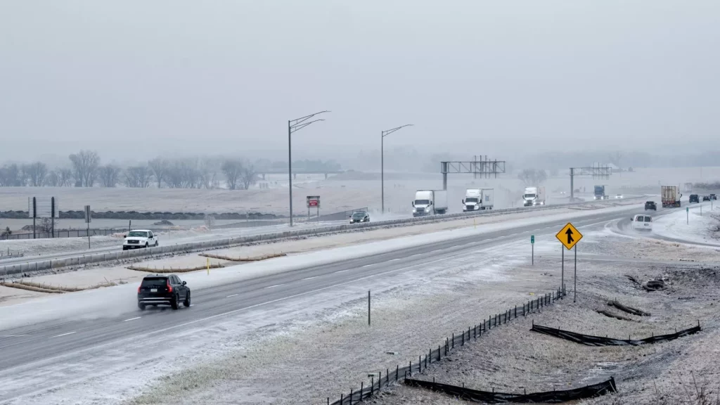
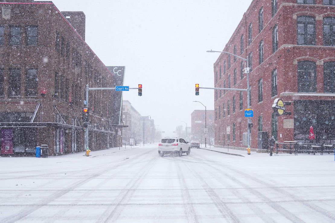
NEW YORK, NY – Commuters across the Tri-State area are facing dangerous road conditions this morning as freezing rain sweeps across New York, New Jersey, and Connecticut. The National Weather Service (NWS) has issued a Freezing Rain Advisory in effect until 11 AM Monday, warning of icy roads, hazardous sidewalks, and significant travel delays.
What to Expect
🌡 Cold Temperatures: Hovering near freezing (28°F to 32°F), making untreated roads and sidewalks dangerously slick
❄ Ice Accumulation: Up to 0.1 inches of ice expected on roads, bridges, and overpasses
🚨 Hazardous Travel: Black ice and slick roadways could lead to spinouts and accidents during the morning rush hour
🌬 Winds: Breezy conditions with gusts up to 20 mph, adding to the wind chill
Major Impacted Areas
📍 New York City & Long Island: Freezing rain and icy sidewalks could make morning commutes treacherous
📍 North & Central New Jersey: Icy conditions along I-78, I-80, and the NJ Turnpike may cause major delays
📍 Connecticut: I-95 and surrounding areas at high risk for icy bridges and untreated roadways
Travel & Safety Concerns
🚗 Dangerous Morning Commute: Expect delays on major highways, including I-87, I-95, and the George Washington Bridge
🚆 Transit Delays Possible: Freezing rain may impact bus and train services due to slick conditions at stations
💡 Power Outages: Ice buildup on power lines and trees could lead to scattered outages in affected areas
How to Stay Safe
✔ Avoid Unnecessary Travel: If possible, delay your commute until after 11 AM when temperatures rise above freezing
✔ Drive with Caution: Go slowly, leave extra stopping distance, and avoid sudden braking on icy roads
✔ Watch for Ice on Sidewalks & Steps: Walk carefully on sidewalks, especially near subways and bus stops
✔ Prepare for Possible Outages: Charge devices and have flashlights ready in case of downed power lines
What’s Next?
🌤 Temperatures are expected to rise above freezing by late morning, melting icy surfaces and improving road conditions.
❄ Another winter system is forecast later this week, bringing possible snow and rain mix across the region.
For live updates and emergency alerts, visit the National Weather Service website or tune in to local news stations. Stay safe and use extra caution on the roads this morning!