
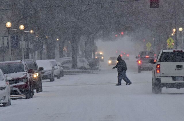
Colorado is about to face one of its most brutal winter blasts of the season as an Arctic air mass sweeps across the state. Forecasters are warning of dangerously cold temperatures, heavy snow, and treacherous road conditions over the next few days. The National Weather Service has issued multiple warnings, urging residents to prepare for life-threatening cold and hazardous travel conditions.
How Cold Will It Get?
The cold front has already settled over the state, and temperatures are expected to drop even further. Denver started the morning at just 9°F (-13°C) with freezing fog and icy roads, making for dangerous driving conditions. Throughout the day, the high will struggle to reach 23°F (-5°C), with lows plunging to 0°F (-18°C) tonight.
By Wednesday, February 19, the Arctic freeze tightens its grip, with highs only reaching 25°F (-4°C) and lows dipping to 6°F (-14°C). Wind chills will make it feel even colder, increasing the risk of frostbite and hypothermia for anyone caught outside without proper winter gear.
On Thursday, February 20, temperatures will remain locked in the low 20s and teens, with a chance of light snow flurries adding to the existing snowpack.

Major Snowfall and Avalanche Danger
The mountains are in for even rougher conditions. Heavy snowfall combined with strong winds has created high avalanche danger in parts of the Colorado Rockies, particularly near Aspen, Vail, and the San Juan Mountains. The Colorado Avalanche Information Center (CAIC) has issued a HIGH avalanche warning (Level 4 of 5), meaning natural and human-triggered avalanches are very likely. Backcountry travelers are strongly advised to avoid avalanche-prone areas, as snow conditions remain unstable. Those venturing into the mountains for skiing or snowboarding should stay within designated ski areas and follow all safety advisories.
Weekend Warm-Up Brings New Risks
After the bitter cold, a dramatic warm-up is on the way. By Friday, February 21, temperatures will rise to 44°F (6°C) under sunny skies, and by the weekend, highs will soar into the mid-50s and even 60s. While this may sound like a welcome break, the rapid temperature change could lead to ice-melting floods and hazardous black ice on roads. The sudden thaw may also destabilize snowpacks, further increasing the risk of avalanches in mountainous areas.
How to Stay Safe During This Extreme Weather
- Limit Time Outdoors – Wind chills can cause frostbite in minutes. Dress in layers and cover exposed skin.
- Prepare Your Home – Check your heating system, seal drafts, and stock up on supplies in case of power outages.
- Avoid Unnecessary Travel – Icy roads and poor visibility could make driving extremely dangerous. If you must travel, keep an emergency kit in your car.
- Check on Vulnerable Neighbors – The elderly, young children, and pets are especially at risk in extreme cold. Ensure they have warm shelter and heat.
- Stay Updated – Follow local weather reports for the latest updates on road closures, snowfall totals, and emergency warnings.
Final Thoughts
This brutal Arctic outbreak will bring some of the coldest temperatures of the season, along with snow and increased avalanche dangers in the mountains. While the weekend warm-up will provide relief, it also brings the risk of ice, flooding, and additional snow instability. Colorado residents should stay informed, take precautions, and avoid unnecessary travel during the most dangerous parts of this storm. The next few days will be tough, but with the right preparation, you can stay safe and weather the storm.