
If you’re in Crete or Pawnee City, get ready for a wintry afternoon. Light snow is moving in, and by 6 PM, we could see up to 2 inches of fresh accumulation. While this might not sound like much, the combination of icy roads, slippery sidewalks, and bitterly cold air will make travel hazardous.
If you have plans later today, take it slow on the roads and bundle up—it’s going to be dangerously cold.
When Will the Snow Start, and How Long Will It Last?
The snow has already started falling in parts of Southeast Nebraska and will gradually pick up through the afternoon. The steadiest snow is expected between 2 PM and 5 PM, before tapering off in the evening.
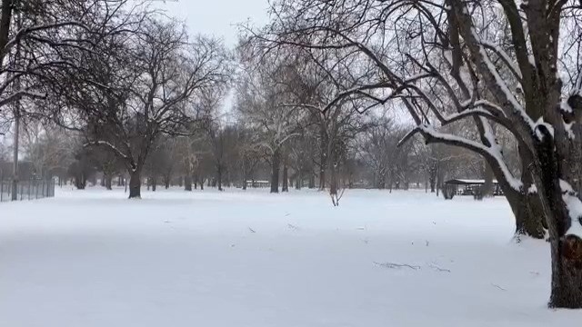
By the time it’s done, most areas will see 1 to 2 inches of snow. It’s not a blizzard, but even a light dusting can create slick spots—especially with temperatures this cold. Since we won’t be getting above freezing anytime soon, the snow that falls will stick around and turn to ice overnight.
Dangerously Cold Wind Chills—Frostbite Can Set In Fast
The snow is only part of the story. Temperatures will struggle to reach 5°F (-15°C) today, and once the sun goes down, it’ll feel even worse.
With a slight breeze factored in, the wind chill will drop as low as -27°F (-33°C). At that temperature, frostbite can set in within 10 minutes if your skin is exposed. That means if you’re heading outside—even just for a few minutes—you need to bundle up in layers, cover your hands and face, and limit your time in the cold.
And if you have pets, bring them inside. These temperatures are just as dangerous for them as they are for us.
Roads Will Be Icy—Here’s How to Stay Safe
Even though we’re only expecting a couple of inches of snow, the cold temperatures mean roads will freeze fast. If you’re driving later today, use caution—especially on bridges, overpasses, and less-traveled roads where ice forms quickly.
Travel tips to stay safe:
- Slow down and leave extra space between cars
- Watch out for black ice, which can be invisible but incredibly slick
- Keep an emergency kit in your car, including blankets, snacks, and a flashlight
For walkers, be careful on sidewalks, steps, and parking lots. Falls are one of the biggest dangers after light snowfalls!
What to Expect Tonight and Tomorrow
Once the snow stops, the cold will only get worse. Overnight lows will plummet to -13°F (-25°C), with wind chills still dangerously low.
Looking ahead, no major storms are expected this week, but temperatures will stay well below freezing. That means any snow or ice that forms today will stick around for a while. Be careful on untreated roads and sidewalks for the next couple of days.