
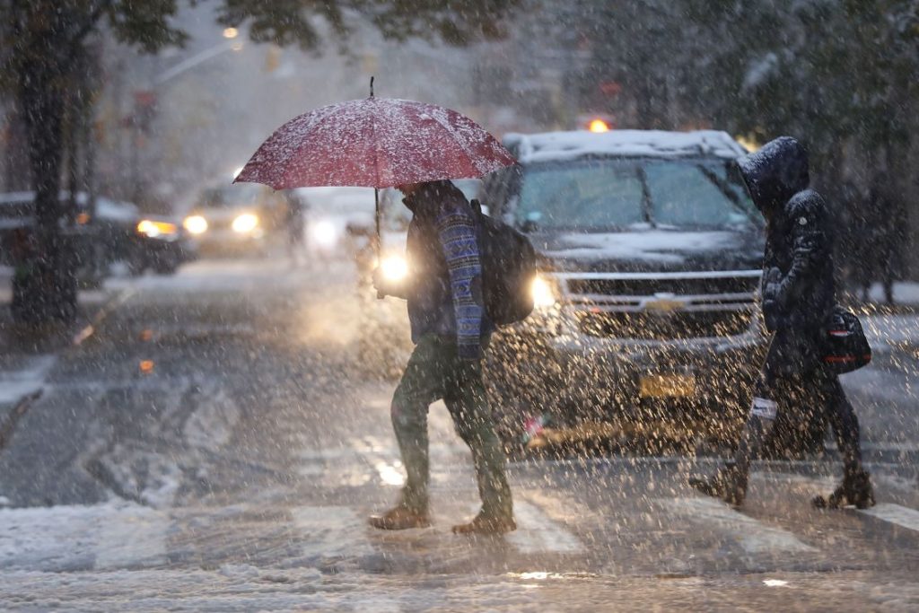
Manhattan residents, if you thought winter was starting to ease up, think again. A blast of icy air is set to grip the city this weekend, bringing freezing temperatures, brisk winds, and even some surprise snowfall. While it won’t be a full-blown blizzard, this sudden shift in the weather could cause slick roads, flight delays, and an overall unpleasant outdoor experience. Temperatures have already started dropping, with Saturday morning kicking off at a chilly 21°F (-6°C). The wind chill will make it feel even colder, so bundle up if you need to head out. While there won’t be heavy snowfall, scattered flurries and icy patches could make sidewalks treacherous.
How Cold Will It Get?
The worst of the cold will hit Manhattan on Saturday, February 22, when temperatures will struggle to reach 40°F (4°C) during the day. The night will be even colder, dropping to 31°F (0°C). Even though the sun will make occasional appearances, don’t be fooled—this is the kind of weather that bites right through your coat.
- On Sunday, February 23, temperatures will climb slightly, offering a brief reprieve. Expect a high of 46°F (8°C) with a low of 33°F (1°C). The sky will be partly sunny, making it the most comfortable day of the weekend. However, if you’re outside early in the morning or late at night, you’ll still feel the chill.
- Looking ahead to Monday, February 24, clouds will dominate the sky, and temperatures will stay in the mid-40s (7-8°C). While there won’t be any major storms, the overcast conditions could make the day feel gloomy.
- By Tuesday, February 25, things take a turn, with rain showers expected in the afternoon. Temperatures will rise slightly, peaking at 53°F (12°C), but the wet conditions could make for a slippery evening commute.

What About the Rest of the Week?
The midweek forecast shows some relief, with Wednesday, February 26, expected to be mostly sunny with a high of 52°F (11°C). But don’t put away your winter gear just yet—Thursday, February 27, will bring back clouds and a chance of rain, with highs near 48°F (9°C). By Friday, February 28, the sun will return, but temperatures will stay chilly, maxing out at 47°F (8°C) and dipping to 29°F (-1°C) at night.
How to Stay Safe in This Cold Snap
With this sudden cold spell, Manhattanites should take extra precautions.
- Dress in layers to stay warm, and don’t forget gloves, hats, and scarves. The wind can make temperatures feel even lower than they are.
- Watch out for icy sidewalks and streets, especially in the morning when black ice is more likely to form.
- Plan for possible travel delays, as even light snow or rain can impact flights and train schedules.
- Check-in on vulnerable neighbors, especially the elderly and those who may struggle with the cold.
This is a sharp reminder that winter in Manhattan is far from over. Even though we’re inching closer to spring, the city can still throw in a few surprises. Stay warm, stay safe, and keep an eye on the forecast for any last-minute changes!