
West Virginia is set to experience a series of dramatic weather changes that could catch residents off guard. From unseasonably warm temperatures to sudden cold fronts bringing snow showers, it’s essential to stay informed and prepared for the upcoming fluctuations.
Early Week Warmth: A Taste of Spring
As the week begins, residents across West Virginia will enjoy mild and pleasant conditions. On Tuesday, February 25, cities like Charleston and Huntington are expected to see temperatures reaching highs of 61°F (16°C) and 62°F (16°C) respectively. Morgantown will experience slightly cooler conditions with a high of 55°F (13°C). These temperatures are well above the February average, offering a brief respite from the typical winter chill. However, this warmth is accompanied by overcast skies and a chance of light rain in the morning hours. Residents should keep umbrellas handy and be cautious of wet roadways during their morning commutes.
Midweek: Continued Mild Temperatures with Increasing Clouds
Wednesday, February 26, maintains the mild trend with temperatures in Charleston and Huntington reaching highs of 64°F (18°C) and 65°F (18°C) respectively. Morgantown will see a high of 57°F (14°C). While the warmth persists, the day will feature a mix of clouds and sunshine, signaling an impending change in the weather pattern.

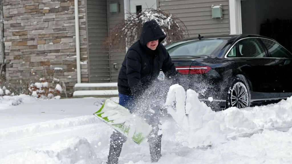
Late Week: Cold Front Brings Rain and Snow Showers
The weather takes a sharp turn on Thursday, February 27, as a cold front sweeps through the region. Temperatures will drop significantly, with highs in Charleston and Huntington falling to 52°F (11°C) and 52°F (11°C) respectively, and Morgantown reaching 54°F (12°C). The day is expected to be breezy and overcast, with morning showers transitioning into potential snow showers by Friday morning. Friday, February 28, brings colder conditions, with Charleston seeing highs of 52°F (11°C) and Morgantown only reaching 44°F (7°C). Residents should prepare for a mix of rain and snow, especially during the morning hours, which could lead to slippery roads and hazardous travel conditions.
Weekend Outlook: Fluctuating Temperatures Continue
The weekend doesn’t offer much stability, as temperatures are set to rise again on Saturday, March 1, with highs in Charleston and Huntington reaching 59°F (15°C) and 59°F (15°C) respectively. However, another drop is expected on Sunday, March 2, with highs falling to 47°F (8°C) in Charleston and 47°F (9°C) in Huntington. Residents should be prepared for mostly cloudy skies and cooler conditions as the weekend progresses.
Preparation and Safety Tips
Given the rapid and significant temperature fluctuations, West Virginians must stay informed and take the necessary precautions:
-
Stay Updated: Regularly monitor local weather forecasts to keep abreast of changing conditions.
-
Dress Appropriately: With temperatures swinging between mild and cold, dressing in layers will help you adjust to the varying conditions throughout the day.
-
Travel Safely: Be cautious of potential icy patches on roads, especially during morning hours when snow showers are expected. Allow extra time for commutes and consider delaying travel if conditions worsen.
-
Protect Plants and Pets: Bring sensitive plants indoors and ensure pets have adequate shelter as temperatures drop.
West Virginia is poised for a week of unpredictable weather, with significant temperature swings and varied precipitation. By staying informed and prepared, residents can navigate these changes safely and effectively.