
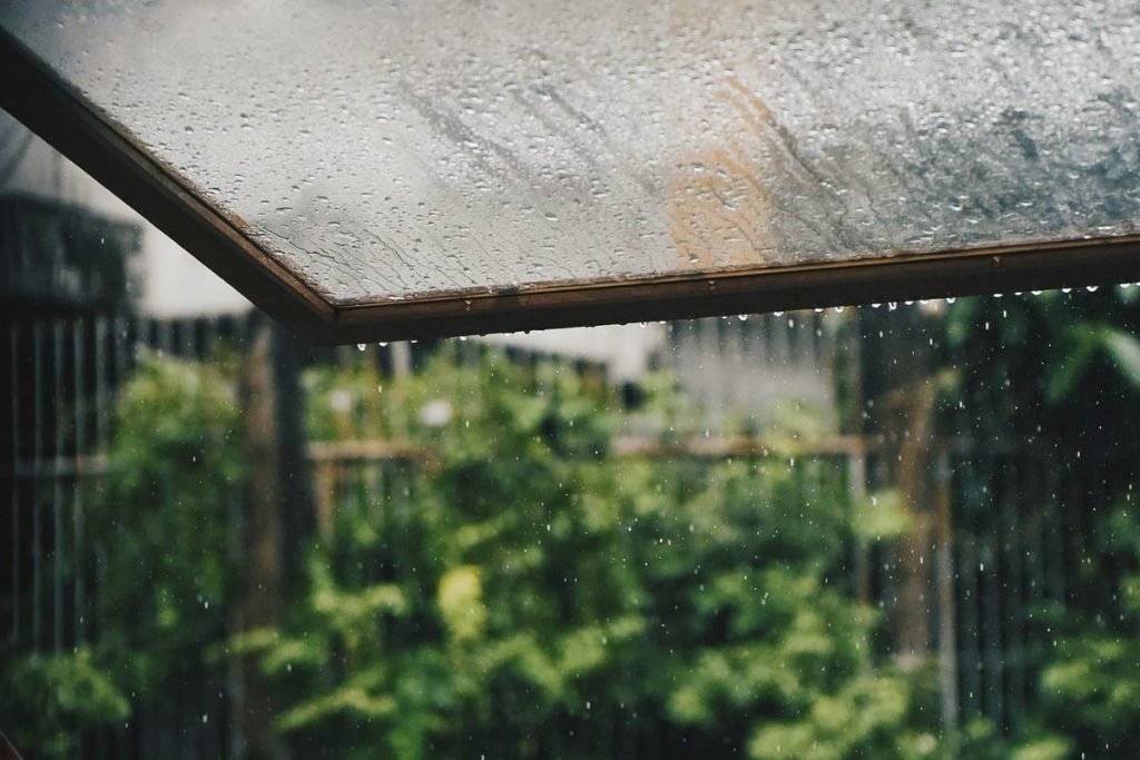
If you were hoping for a dry start to spring in Seattle, think again! March is shaping up to be a classic Pacific Northwest weather rollercoaster, with frequent rain, cooler-than-usual mornings, and sudden temperature shifts. Residents should be ready for a little bit of everything—except long stretches of sunshine. Seattle is no stranger to March rain, but this year’s forecast suggests a particularly stormy and unsettled month ahead. Thanks to the lingering effects of La Niña, the city is in for above-average precipitation, meaning more gray days, heavier showers, and a few surprise cold snaps.
More Rain Than Usual—Prepare for a Wet Month
Seattle already sees plenty of rain in March, with an average of 16 rainy days and around 4 inches (95 mm) of precipitation. But this year, meteorologists warn that rainfall could be even higher than normal, with an active jet stream steering storms straight into the Pacific Northwest.
If you were hoping for a dry spell to enjoy some early spring outdoor activities, you might need a backup plan.
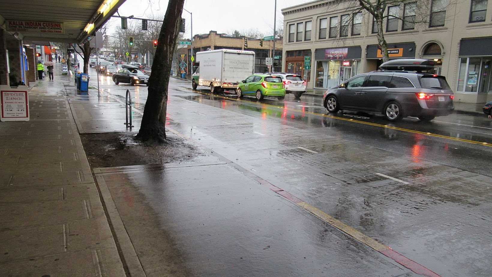
- Downtown Seattle & Puget Sound: Expect on-and-off showers nearly every day, with a few heavier storm systems rolling through mid-month.
- Eastern Washington: A little drier, but still a higher chance of scattered showers compared to usual.
- Mountain Passes: Areas like Snoqualmie Pass and Stevens Pass will see frequent snowfall, making travel tricky for anyone heading over the Cascades.
Seattle’s infamous drizzle and gray skies will be in full force this March, so make sure to keep umbrellas and rain jackets handy at all times.
Chilly Mornings and Sudden Cold Snaps
While daytime highs in March typically hover between 48°F and 55°F (9°C to 13°C), this year could bring colder-than-average mornings and potential dips into the mid-30s°F (1°C to 3°C). This means frosty mornings are still possible, especially in outlying areas like Everett, Redmond, and Olympia. If you commute early, be prepared for some chilly starts to the day, even if afternoons feel slightly warmer.
La Niña’s Influence—Why Is Seattle Wetter Than Usual?
The reason for all this extra rain and cold air? La Niña. This global climate pattern, caused by cooler-than-normal Pacific Ocean temperatures, disrupts typical weather patterns, often bringing wetter, cooler conditions to the Pacific Northwest. This means Seattle won’t be seeing an early spring warm-up anytime soon. While the occasional mild day in the mid-50s°F (13°C) might make an appearance, expect more dreary, wet, and cool days than warm, sunny ones.
What to Expect in the Weeks Ahead
- Early March: Consistent rain, chilly mornings, and breezy conditions. No major storms, but plenty of wet weather.
- Mid-March: A potential stronger storm system bringing heavier rainfall and wind.
- Late March: Slightly milder temperatures, but still rainy and unsettled.
How to Stay Prepared for Seattle’s Unpredictable March Weather
Seattleites are used to rainy days, but with colder mornings, more rain than usual, and unpredictable temperature swings, it’s important to stay ahead of the forecast.
- Dress in Layers: It might be mild one afternoon and freezing the next morning, so keep jackets handy.
- Check the Forecast Daily: Rain showers will come and go quickly, so it’s best to stay updated before heading out.
- Drive Safely: Wet roads and potential flooding in low-lying areas can make commuting tricky.
- Watch for Snow in the Mountains: If you’re traveling over Snoqualmie or Stevens Pass, be prepared for winter driving conditions well into March.
Will April Bring a Spring Warm-Up?
By mid-to-late April, Seattle’s weather should start shifting towards more consistent mild temperatures. While rain will still be in the picture, the coldest mornings should fade away, and more sunshine could finally break through. For now, expect Seattle’s signature mix of rain, cool air, and unpredictable shifts, and keep those raincoats and boots nearby—you’ll need them for a while longer!