
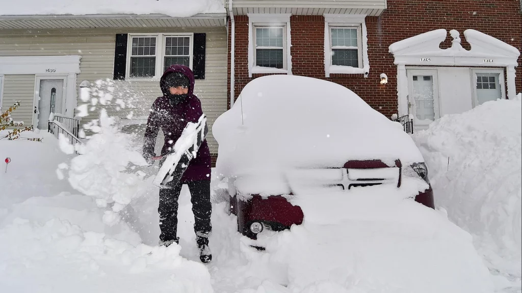
Wisconsin residents need to brace for a powerful winter storm set to arrive on Tuesday, March 4, bringing heavy snowfall, gusty winds, and potentially dangerous travel conditions. Meteorologists are warning that this storm could be one of the strongest of the season, impacting major cities such as Madison, Milwaukee, and Green Bay with severe disruptions expected throughout the state. The National Weather Service has issued a Winter Storm Watch ahead of the system, advising residents to prepare now for hazardous conditions. Officials are urging people to stay off the roads if possible and make sure they have adequate supplies in case of power outages or road closures.
What to Expect – Major Storm Threats Explained
This winter storm is fueled by a strong low-pressure system sweeping across the Midwest, clashing with cold Arctic air, creating a volatile weather setup that will bring intense snowfall, ice accumulation, and high winds.
- Heavy Snowfall: Parts of central and northern Wisconsin could see 6 to 12 inches of snow, with isolated higher amounts possible in some regions. Snowfall rates may reach 1 to 2 inches per hour, quickly covering roads and making travel nearly impossible.
- Strong Winds: Gusts up to 45 mph will create blowing and drifting snow, leading to whiteout conditions and dangerously reduced visibility.
- Icy Conditions: A mix of rain and freezing precipitation may create treacherous icy roads in some areas before transitioning to heavy snow.
- Bitter Cold: As the storm progresses, temperatures will plummet, and wind chills may drop below zero, increasing the risk of frostbite for anyone exposed to the elements.

Detailed Forecast for March 4-5
- Tuesday Morning: Light snow begins, winds increasing, roads becoming slick.
- Tuesday Afternoon: Snow intensifies, travel becomes extremely hazardous. High winds cause drifting and reduced visibility.
- Tuesday Night: Peak storm impact – heavy snow, high winds, and dangerous wind chills.
- Wednesday Morning: Snow starts to taper off, but winds continue to cause drifting and difficult travel.
How to Stay Safe Before, During, and After the Storm
With this major winter storm approaching, residents should take the following safety precautions:
- Stay Off the Roads: Avoid unnecessary travel, as highways may become impassable due to ice and heavy snowfall. If you must drive, carry an emergency kit with blankets, food, and water.
- Prepare for Power Outages: The weight of heavy snow and strong winds could bring down power lines, so have flashlights, extra batteries, and backup heating sources ready.
- Stock Up on Essentials: Ensure you have enough food, water, and medications to last several days in case of road closures or service disruptions.
- Check on Neighbors: Elderly and at-risk individuals may need assistance if conditions worsen.
- Limit Exposure to the Cold: Frostbite can occur in minutes with wind chills below zero. Wear layers, cover exposed skin, and avoid prolonged time outdoors.
The storm is expected to weaken by late Wednesday, but lingering snow, strong winds, and frigid temperatures will continue to impact travel and recovery efforts for days. Snow-covered roads, downed trees, and possible power outages may take time to clear, so residents should remain prepared for extended disruptions. Officials urge all Wisconsin residents to take this storm seriously and to stay indoors and avoid unnecessary risks. This rapidly changing system could bring even higher snowfall totals than currently predicted, making it essential to stay updated with the latest forecasts and alerts. Stay prepared, stay safe, and avoid unnecessary travel, Wisconsin.