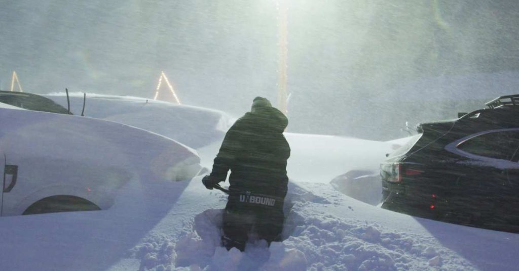
An extended period of wild, wintry weather will shake up California, starting Friday, January 31, 2025. Back-to-back storm systems are primed to drop significant precipitation, from relentless rain at lower elevations to staggering snowfall totals in higher mountain zones. This setup could result in the region’s largest storm event of the season, making for an epic ski week.

Weekend Storm: Wet and Heavy Snow Kicks Off the Chaos
The first round of action arrives Friday and lasts through Sunday, bringing widespread precipitation and rapidly rising snow levels. Expect moderate to heavy snowfall starting at elevations around 5,500–6,500 feet before climbing to 8,000–9,000 feet on Saturday. Lower elevations will primarily experience rain, but higher terrains—especially ski resorts—will get buried in wet, dense snow.
Throughout the weekend, precipitation will fluctuate in intensity, with temperatures remaining relatively mild for this time of year. Gusty southwesterly winds will accompany the storm, especially along exposed ridges and mountain passes. By Sunday, cooler air will settle in, dropping snow levels back down to 6,500–7,500 feet, allowing for more coverage across mid-elevation zones.
Skiers and snowboarders can anticipate difficult conditions on the slopes, with blustery winds and visibility concerns in higher elevations. However, the payoff will come in the form of hefty snow totals by Sunday night, creating the perfect foundation for fresh powder next week.
Colder System Early Next Week: Fluffier Snow and Widespread Coverage
Just as the weekend storm winds down, the second wave charges in Monday night, bringing colder air and widespread snowfall through midweek. Snow levels will steadily drop, reaching as low as 5,000–6,000 feet by Wednesday or Thursday, allowing even lower-elevation ski areas to get their share of the action.
Unlike the heavy, wet snow from the weekend, this colder storm will deliver fluffier, high-quality powder—a skier’s dream. Winds will still be a factor, but the core of the strongest jet stream energy is expected to shift southward, slightly reducing wind intensity. Mountain resorts are likely to see rapid accumulations, with the potential for intense bursts of snowfall at times.
What to Expect: Snow Totals and the Road Ahead
Early estimates predict jaw-dropping snowfall totals for California’s major ski resorts over the next seven days:
- Sugar Bowl: 56–95”
- Kirkwood: 52–88”
- Palisades Tahoe: 50–85”
- Mammoth Mountain: 30–52”
- Northstar: 26–47”
- Heavenly: 26–45”
- Mt. Rose-Ski Tahoe: 23–40”

The storm track may remain active beyond midweek, with more snow and colder-than-average temperatures extending into early February. Forecast models hint at additional moisture funneling into the region, meaning California’s ski season could continue to thrive. Stay prepared, and check for daily updates as conditions evolve.

