
Residents of Polk County are being warned to prepare for a major severe weather event set to hit the region on Wednesday, March 5. Meteorologists are tracking a fast-moving storm system capable of producing damaging winds, torrential rainfall, and isolated tornadoes. The National Weather Service has issued a Hazardous Weather Outlook, urging residents to take precautions before conditions become life-threatening. With the potential for widespread flooding, structural damage, and prolonged power outages, local authorities are asking everyone to stay indoors and avoid unnecessary travel once the storm arrives.
What’s Coming? Major Weather Threats Explained
This incoming system is part of a strong frontal boundary colliding with warm, unstable Gulf air, creating the perfect setup for violent weather.
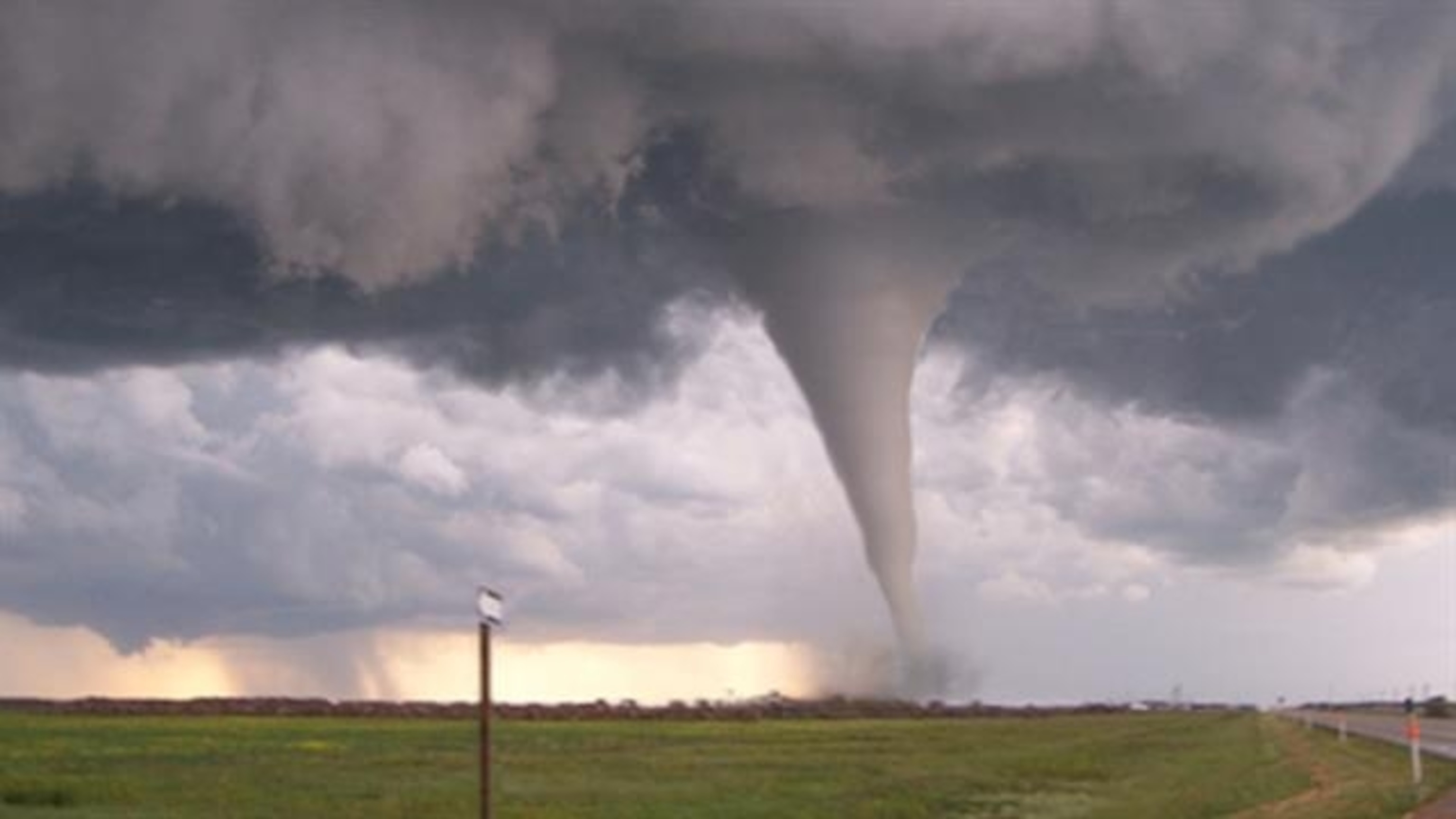
- Tornado Risk: The conditions are highly favorable for tornado formation. If a tornado warning is issued, residents must immediately take cover in a basement or an interior room without windows.
- Flash Flooding Danger: Storms will bring intense downpours, dumping up to 4 inches of rain in a matter of hours. Low-lying areas and urban streets are at high risk for flash flooding, making travel extremely hazardous.
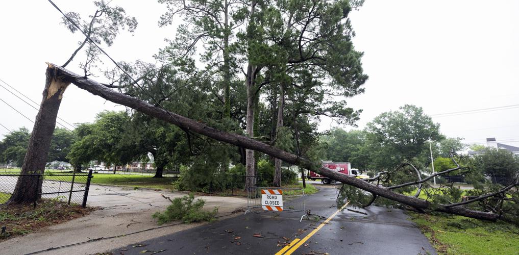
- Damaging Winds: Gusts could reach 70 to 80 mph, strong enough to topple trees, rip off roof shingles, and knock out power for thousands.
- Lightning Threat: Frequent cloud-to-ground lightning strikes will increase the risk of house fires and injuries for anyone outdoors.
Forecast for Wednesday, March 5
- Morning: Cloudy skies with scattered rain showers, winds increasing.
- Afternoon: Severe thunderstorms likely, strong winds and possible tornadoes developing.
- Evening: Heavy rain continues, flash flooding expected, along with continued wind damage risks.
How to Stay Safe Before, During, and After the Storm
With this dangerous storm system approaching, follow these critical safety measures to protect yourself and your family:
- Stay Informed: Keep an eye on weather alerts via radio, TV, or mobile apps. Tornado warnings can be issued with little to no notice, so act immediately if one is declared.
- Secure Your Home: Bring in or tie down outdoor furniture, garbage cans, and anything that could become airborne in high winds.
- Prepare for Power Outages: Have a fully charged phone, extra batteries, and a backup power source if you rely on medical devices.
- Have an Emergency Kit: Stock up on water, non-perishable food, medications, flashlights, and blankets in case conditions force you to shelter in place.
- Avoid Flooded Roads: Never attempt to walk or drive through floodwaters. Just six inches of fast-moving water can knock you down, and a foot can sweep away a car.
What’s Next?
The storm is expected to weaken early Thursday morning, but lingering rain and gusty winds will continue to impact travel and cleanup efforts. Flooded roads, downed power lines, and debris will pose dangers even after the worst of the storm has passed. Authorities are urging Polk County residents to take this storm seriously, stay inside, and be prepared for emergencies. If you are in a flood-prone area, be ready to evacuate immediately if conditions worsen. This is a rapidly evolving situation, and officials warn that storm strength and tornado risks could increase unexpectedly. Stay updated with local news and weather alerts, and take every precaution to keep yourself and your loved ones safe. Stay prepared, stay informed, and most importantly, stay safe, Polk County.