HOUSTON — Southeast Texas is bracing for a stretch of punishing heat this week, with forecasters warning that dangerously high temperatures could stick around through the weekend.
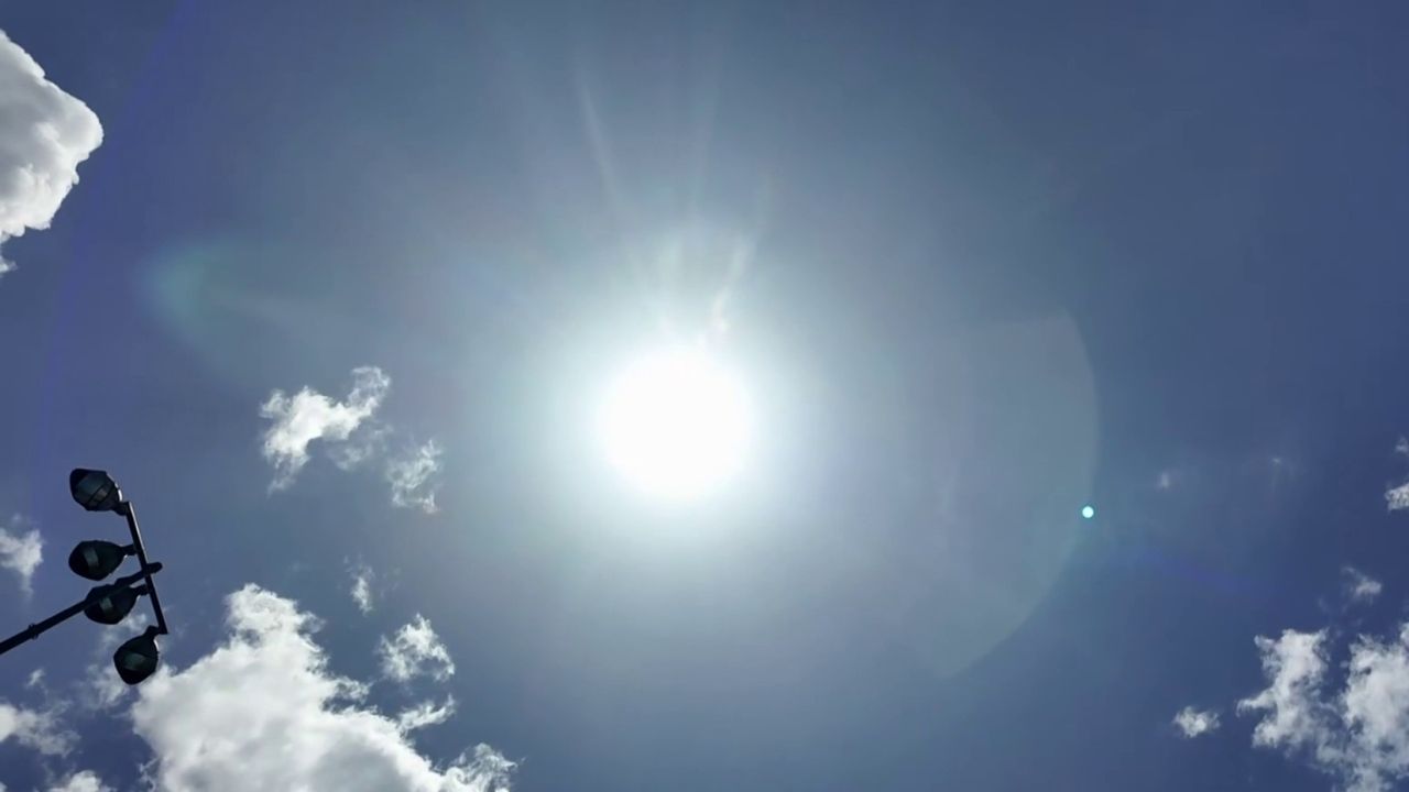
Houston hit 99 degrees on Wednesday, and forecasters expect the mercury to creep even higher, with highs near 100 degrees forecast for both Thursday and Friday. But it’s not just the actual temperature causing concern — the combination of heat and humidity is expected to make it feel as hot as 108 to 109 degrees each afternoon through Saturday.
According to the National Weather Service, there is roughly a 50% to 60% chance that Houston’s major airports will officially record triple-digit heat before the week is out. A Heat Advisory remains possible across the region as conditions stay hazardous for anyone spending extended time outdoors.
Officials are urging residents to take precautions during the peak afternoon hours, including staying hydrated, taking frequent breaks in the shade or air conditioning, and avoiding strenuous outdoor activity when the heat is most intense.
While a stray sea-breeze shower can’t be completely ruled out Wednesday, rain chances remain low — only around 10% — as high pressure continues to dominate the region’s weather pattern. That dry stretch is expected to hold firm through Saturday.
Relief may finally be on the way early next week. Forecasters say the ridge responsible for the heat wave should begin weakening by late weekend, opening the door for isolated thunderstorms to return Sunday and Monday, with rain chances rising to around 30%.
Adding another twist to the forecast, a light plume of Saharan dust could drift into Southeast Texas by Monday and Tuesday. While it isn’t expected to be thick, it may bring hazy skies along with more vivid sunrises and sunsets.
Meanwhile, the National Hurricane Center says no tropical cyclone development is expected in the Atlantic, Caribbean, or Gulf over the next seven days, offering at least one piece of calmer news for the region this week.