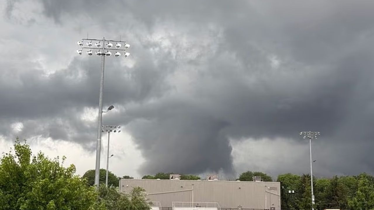
New Jersey found itself under a series of severe weather alerts Tuesday evening, as the National Weather Service confirmed a tornado warning for parts of the state alongside neighboring regions in Delaware and Pennsylvania.
The warning went into effect at 6:51 p.m., covering Gloucester and Salem counties in New Jersey, as well as New Castle County in Delaware and Delaware County in Pennsylvania. It remained active until 7:15 p.m. Just minutes earlier, at 6:50 p.m., meteorologists tracked a severe thunderstorm capable of producing a tornado near Wilmington, Delaware, moving northeast at roughly 35 mph. Radar detected rotation within the storm system, prompting officials to issue the alert.
This wasn’t the only tornado warning of the day. Earlier Tuesday, a separate warning covered Sussex and Warren counties along with a section of eastern Pennsylvania before expiring around 2:15 p.m. By shortly after 7 p.m., a fresh severe thunderstorm warning was issued for northwestern Cumberland County, along with Salem, Camden, Gloucester and northwestern Burlington counties, set to last until 8 p.m. Forecasters warned that these storms could bring wind gusts as strong as 60 mph, along with hail measuring up to three-quarters of an inch.
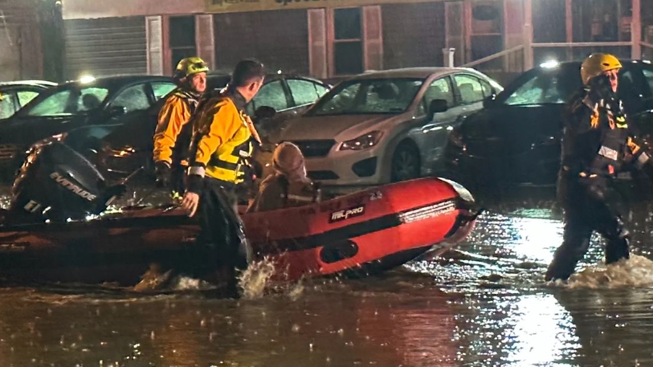
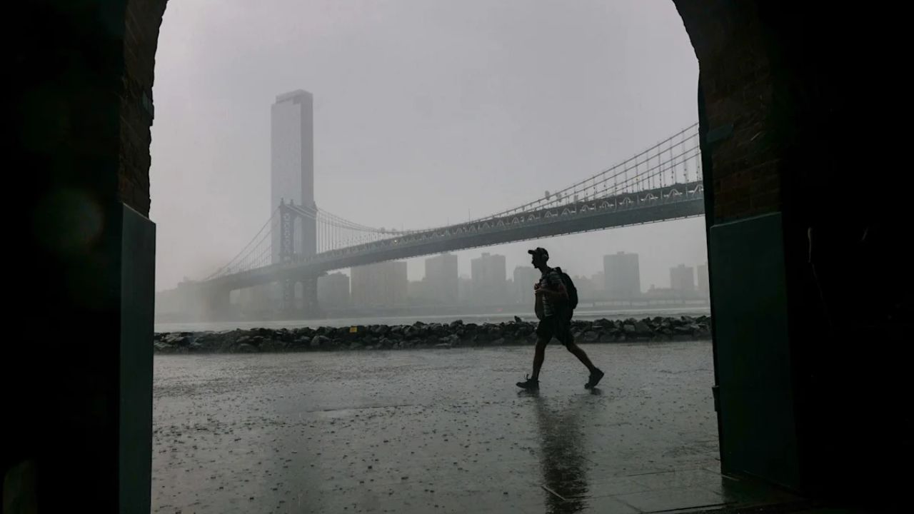
Beyond the tornado threat, New Jersey residents also faced the danger of significant flooding. Heavy rainfall and thunderstorms swept through the state Tuesday, raising concerns over what officials described as the potential for life-threatening flash flooding, damaging winds and possible tornado activity.
A flood watch covering 18 counties began at 8 a.m. and is expected to remain in place into Wednesday, with several counties additionally placed under flash flood warnings during the day. Weather officials noted that the risk of flash flooding had grown particularly severe across northern New Jersey, especially along the I-78 and I-80 corridors.
Rainfall intensity was expected to reach between 1 and 3 inches per hour through the afternoon and evening hours, officials said, as the region braced for a potentially dangerous night of weather.