
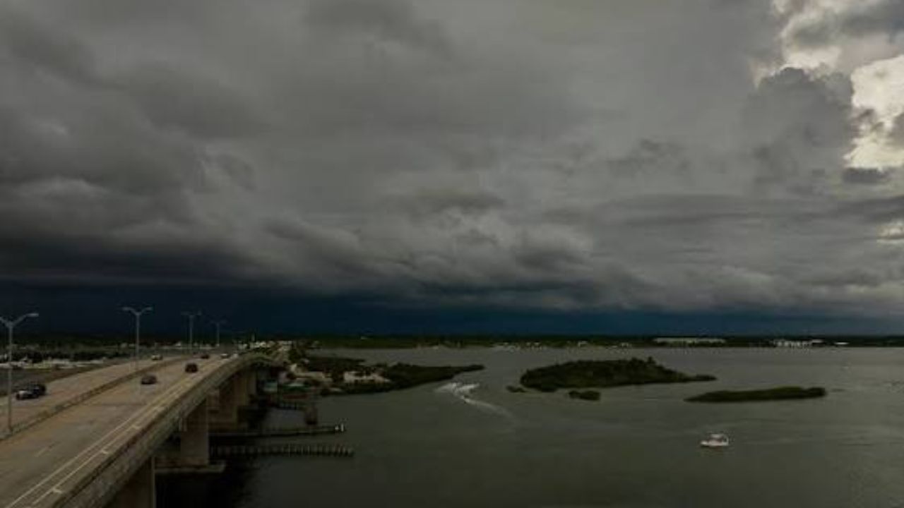
TALLAHASSEE, Fla. — Residents across North Florida are being urged to stay weather-aware Wednesday, July 29, as forecasters warn of a rapidly developing severe weather threat expected to peak between 4 and 6 p.m. A stalled front draped across the northern peninsula is set to collide with unusually high levels of atmospheric moisture, creating conditions ripe for explosive storm growth.
According to the National Weather Service, the corridor stretching from Tallahassee east to Gainesville is expected to bear the brunt of the activity, with officials anticipating numerous severe thunderstorm warnings as storms fire along the boundary during the height of the afternoon heat.
Meteorologists say the atmosphere over the Panhandle and northern peninsula is loaded with moisture, with precipitable water values climbing above 2.4 inches in some areas — a level that typically signals the potential for intense, fast-falling rain. As storms track through the region, officials are warning that downpours could quickly lead to localized flooding on roadways and low-lying areas.
Damaging wind gusts are being called the primary hazard for Wednesday’s storms, with forecasters expecting at least a couple of instances strong enough to snap branches, down power lines, or toss loose outdoor furniture. Authorities are also not ruling out a brief, isolated tornado spin-up embedded within the stronger cells, along with the chance of small hail in a handful of the most intense storms.
Officials are advising residents in and around the Tallahassee-Gainesville corridor to have a way to receive emergency alerts Wednesday afternoon and to avoid unnecessary travel during the peak window if storms are active in their area. Those outdoors are being urged to seek sturdy shelter at the first sign of darkening skies, rapid wind shifts, or thunder.
Emergency officials say conditions will be monitored closely throughout the afternoon, with updates expected as the severe weather threat evolves.